 Nederlands
 Dansk
Dansk Österreichisch
 Po Polsku
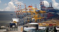

Printed by https://cuxhaven-bremerhaven.city-map.de/city/db/010201090701/tide-calendar


Tide Calendar
The tides of the German North Sea cost
Water-gauge location: Cuxhaven, Steubenhöft
Position: 53°52'04"N 8°43'03"E
Time: legal time summer half year MESZ / winter half year MEZ
Water level in regards to: sea chart zero
- Current data of the BSH for the water level Steubenhöft is available here.
![]()
Water-gauge location: Otterndorf
Position: 53°50'07"N 8°52'15"E
Time: legal time summer half year MESZ / winter half year MEZ
Water level in regards to: sea chart zero
- Current data of the BSH for the water level Otterndorf is available here.
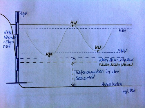
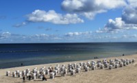
Image Copyright: R.Klose
Further data for the respective water levels:
The Federal Maritime and Hydrographic Agency (BSH) provides a geographical selection of all water-gauge locations for the tide forecast at its Homepage.